


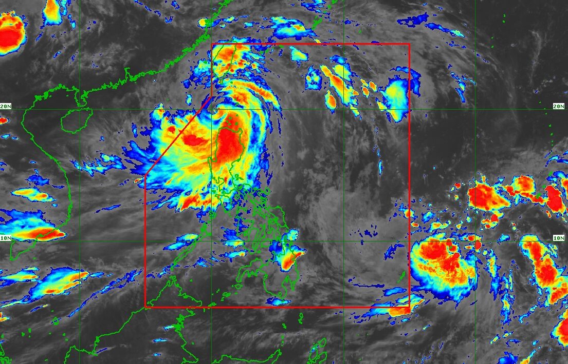
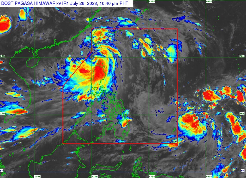
MANILA – Typhoon Egay (international name: Doksuri) further weakened while moving away from the country on Wednesday evening, July 26, said the Philippine Atmospheric, Geophysical and Astronomical Services Administration (PAGASA).
PAGASA said Egay has maximum sustained winds of 155 kilometers per hour (kph) near the center and gusts of up to 190 kph as of 11 p.m.
It previously had maximum sustained winds of 165 kph and gusts of up to 230 kph.
Moreover, Egay moved west-northwestward at 10 kilometers per hour (kph) and was last seen 120 kilometers (km) west-northwest of Calayan, Cagayan or 170 km west-southwest of Basco, Batanes,
If it maintains its current speed and track, the typhoon will be outside the country’s area of responsibility on Thursday morning, July 27, PAGASA said.
Fewer areas remain under tropical cyclone wind signals as typhoon Egay continues to weaken and move away from the country
As of 11 p.m., only the northwestern part of Ilocos Norte was still under Signal No. 3.
Cagayan, including Babuyan Islands, Kalinga, Abra, the rest of Ilocos Norte, Apayao, the northern and central portions of Ilocos Sur, western portion of Mountain Province, and Batanes remained under Signal No. 2.
Meanwhile, Signal No. 1 was still in effect over Isabela, the rest of Mountain Province, Ifugao, Zambales, Pangasinan, Benguet, La Union, Nueva Vizcaya, the rest of Ilocos Sur, Quirino, Aurora, Nueva Ecija, Tarlac, Pampanga, the northern portion of Bataan, and the northern portion of Bulacan.
Heavy to intense rains
In the next 24 hours, intense rains (100-200 millimeters) may continue to affect Ilocos Norte and the northern portions of Ilocos Sur and Abra.
Heavy rains (50-100 millimeters) may prevail over the western portion of Babuyan Islands, the western portion of Apayao, the rest of Abra, the rest of Ilocos Sur, La Union, and Pangasinan.
Moreover, the southwest monsoon, or “habagat,” enhanced by Egay, may continue to bring occasional rains over the western portions of Central Luzon and Southern Luzon in the next three days.
“Under these conditions, flooding and rain-induced landslides are possible, especially in areas that are highly or very highly susceptible to these hazards as identified in hazard maps and in localities that experienced considerable amounts of rainfall for the past several days,” PAGASA warned. (MB)