


MANILA — The low-pressure area outside the Philippine area of responsibility (PAR) has developed into a tropical depression and may enter the country on Wednesday, according to the Philippine Atmospheric, Geophysical and Astronomical Services Administration (PAGASA).
The state weather bureau said that the center of the tropical depression was located 1,540 kilometers east of southeastern Mindanao, with maximum sustained winds of 45 km per hour near the center, gustiness of up to 55 kph as it moves eastward at 20 kph.
PAGASA weather specialist Obet Badrina said the tropical depression is expected to enter PAR by Wednesday morning.
Once it enters PAR, the tropical depression will be named Kabayan.
Badrina said the track of tropical cyclones in November is usually Visayas and Mindanao.
“It may also recurve towards Japan,” he added.
According to the state weather bureau, the tropical cyclone may reach typhoon category with peak intensity of 120 kph on Saturday.
“The possibility of further intensification prior to its close approach to Eastern Visayas is not ruled out. There is a high likelihood that tropical cyclone wind signals will be hoisted over eastern portions of the Visayas and Mindanao. The passage of this tropical cyclone over Eastern Visayas may bring heavy rainfall over several provinces in the Visayas, Mindanao and Bicol Region beginning Friday,” PAGASA said.
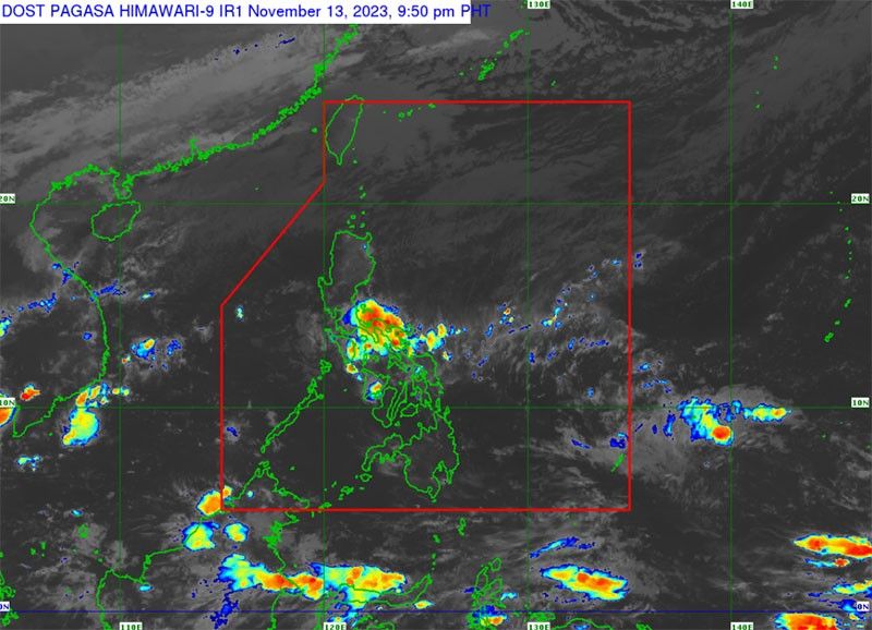
It added that the tropical cyclone may also bring rough to very rough seas over the eastern seaboards of Southern Luzon, the Visayas and Mindanao beginning Thursday. At the same time, Badrina said that based on satellite images, the northeast monsoon will bring isolated rains in Northern and Central Luzon, while the shear line will affect a big portion of the Bicol region, including Aurora, Quezon and Northern Samar.
On the other hand, the PAGASA official said that the gale warning is still in effect in Batanes, Ilocos Norte, Ilocos Sur, La Union and Cagayan, including the Babuyan Islands.
Under PAGASA’s tropical cyclone wind signal system, a super typhoon is declared if it has sustained winds of 185 kph; typhoon, 118 to 184 kph; severe tropical storm, 89 to 117 kph; tropical storm, 62 to 88 kph and tropical depression at less than 61 kph.
The state weather bureau has said that it expects at least one to two typhoons this November.