


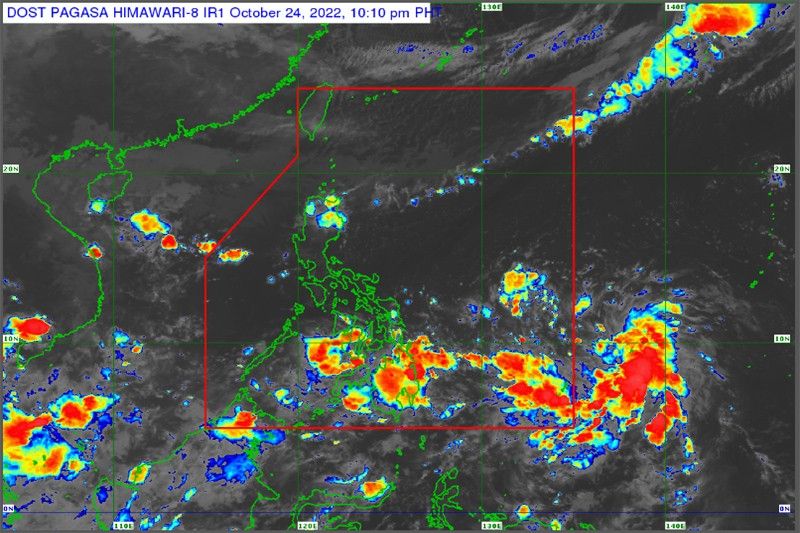
MANILA — A low-pressure area (LPA) has entered the Philippine area of responsibility and is anticipated to further intensify into a typhoon in the coming days.
According to the Philippine Atmospheric, Geophysical and Astronomical Services Administration (PAGASA), the developing storm was last spotted some 700 kilometers east of Hinatuan, Surigao del Sur yesterday.
The state weather bureau stated that if it indeed intensifies and becomes Typhoon Paeng as projected, it has a high possibility of making landfall.
The low-pressure area imbedded in the intertropical convergence zone has two possible trajectories, according to PAGASA, based on the direction it has taken thus far.
The potential typhoon may make landfall in either Eastern Visayas or Northern Luzon, the state weather experts who are tracking its movement said.
At this moment, it has yet to affect the country, whereas the northeast monsoon is primarily felt in the provinces of Northern Luzon.
PAGASA reported that for the next three days, Metro Manila and Baguio City are expected to experience fair weather conditions with chances of isolated rains.
The Bicol region is forecast to have good weather tomorrow, but will be cloudy with scattered rains and thunderstorms by Wednesday and Thursday because of the approaching low-pressure area.
The majority of the Visayas will be cloudy with scattered rainfall on Tuesday and Thursday, according to PAGASA, while Mindanao will experience fair weather tomorrow and Wednesday, but is anticipated to become cloudy with scattered rains and thunderstorms on Thursday.

relax